A Weekend in Appomattox


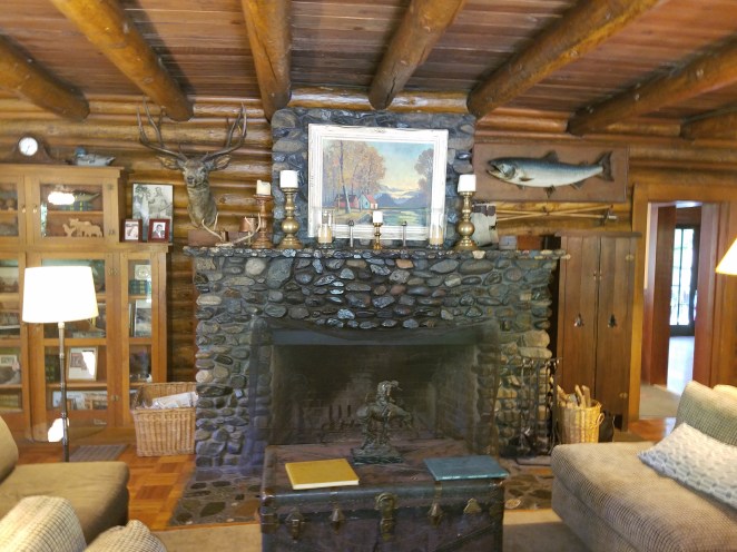
Appomattox is of special interest to me because a small part of our family history occurred here.  George Oren Pratt, my 5th cousin, 1X removed (son of my 3rd great grandfather James Pratt), was in Appomattox serving in the 4th Maine Artillery Battery when General Robert E. Lee surrendered the Army of Northern Virginia to General Ulysses S. Grant on April 9th, 1865 at the McLean residence in Appomattox Court House, Virginia.


James Pratt and his 2nd wife Lucinda, residents of Palmyra, Maine, had three sons who served in the Union Army during the Civil War.


At 18 years of age, son Joseph H. Pratt enlisted in the 11th Infantry, Maine Volunteers, in the summer of 1861.

The regiment was organized for active service Oct. 11, 1861, and mustered into the U. S. service on Nov. 12, to serve for three years. It left the state the next day for Washington, where it remained encamped until March 28, 1862, when, as part of Casey’s division, it proceeded to Alexandria, thence to Newport News. Here on April 6 it was detached from its brigade (Naglee’s), and went to the mouth of Warwick creek, where it was under the fire of the rebel gunboat Teazer. On the 17th, it rejoined the division and brigade and proceeded to Yorktown, where on the 29th it was in a sharp engagement with the enemy. Later it took a prominent part in the battles of Williamsburg, Seven Pines and White Oak swamp. From Aug. 16, to Dec. 26, 1862, it was at Yorktown, and on the latter date embarked with Naglee’s brigade for Port Royal, S. C., where it landed on Feb. 10, 1863. Gen. Naglee, having been promoted to the command of a division, issued a spirited order on leaving the regiment, of which the following is a part: “Yours is the honor of having been the first to pass and the last to leave the Chickahominy. And, while you led the advance from this memorable place near Richmond, you were the last in the retreating column, when, after seven days’ constant fighting, it reached a place of security and rest at Harrison’s Landing.”

Joseph’s unit was sent to Fernandina Beach, Florida an area used for rest and rehabilitation by the Union Army.  Unfortunately, Joseph was afflicted with chronic diarrhea and died there on November 18th, 1863.  He is buried in a beautiful National Cemetery in Beaufort, South Carolina.  I highly recommend a visit if you are in the area.  The visitor’s desk can direct you to his well-marked headstone.


At age 24, on August 2nd, 1862, son James Pratt enlisted in Company G, Sixteenth Maine Infantry.

The recruits for this regiment were rendezvoused at Augusta during the months of May, June and July, and the regiment was mustered into the   U. S. service on August 14th, 1862, to serve for three years.   The regiment left for Washington on the 19th with 38 commissioned officers and 944 enlisted men, and remained encamped there until September 7th, when it proceeded to Rappahannock Station as a part of Taylor’s brigade, Hooker’s corps. Here it was transferred to Duryea’s brigade of Reynolds’ corps. It had left camp at Fort Tillinghast, near Washington, in light marching order and during the next two months the men suffered terribly from the lack of enough clothing and camp equipment. By the middle of October, the regiment had dwindled to less than 700 men, and of these 250 were at one time on the sick list. Even medicines for the sick were lacking and the hardships endured by these men, so recently taken from the peaceful walks of life, can never be told. Finally, at the end of October, they drew shoes and shelter tents, November 27th (Thanksgiving Day), their knapsacks and overcoats arrived from Washington.  The result of these conditions caused James to come down with pneumonia.  Unfit for duty he was discharged in Baltimore on November 19th. Family lore is that he was assisted on his journey home by one of his siblings.

James returned to farming and married Sarah S. Richardson on December 25th, 1964 and they had a daughter named Christina.  James died at age 33 on December 5th, 1871.


At age 21, son George O. Pratt enlisted on December 23rd, 1961 in the 4th Maine Artillery Battery.  He was discharged at Brandy Station, Culpeper, Virginia on February 6th, 1864 and re-enlisted on the same day.  His final discharge was on June 17th, 1865.   Essentially, he served in the Union Army for almost the entire Civil War.

The 4th Maine Battery was organized in Augusta, Maine and mustered in for three years’ service on December 21, 1861.

The battery was attached to 2nd Division, II Corps, Army of Virginia, to September 1862. Artillery, 3rd Division, III Corps, Army of the Potomac, to May 1863. Artillery Brigade, III Corps, to September 1863. Artillery, 2nd Division, III Corps, to April 1864. Artillery Brigade, VI Corps, to August 1864. Artillery Reserve, Army of the Potomac, to March 1865. Artillery Reserve, Army of the Potomac, to June 1865.

The 4th Maine Battery mustered out of service June 17, 1865 at Augusta, Maine.

Duty at Augusta until March 14, 1862, and at Portland until April 1. Moved to Washington, D.C., April 1-3, and duty in the defenses of that city until June 28. Ordered to Harpers Ferry, Va., June 28. Battle of Cedar Mountain Va., August 9. Pope’s Campaign in northern Virginia August 16-September 2. Fords of the Rappahannock August 20-23. Sulphur Springs August 24. Battles of Groveton August 29, and Bull Run August 30. Battle of Antietam, Md., September 16-17. Duty at Maryland Heights until October 13, and on the Upper Potomac until December 10. At Bolivar Heights until April 7, and at Maryland Heights until June 30. Moved to Monocacy Junction, then to South Mountain, Md., June 30-July 6. Pursuit of Lee July 6-24. Wapping Heights, Va., July 23. Camp near Bealton August 1-September 15, and on Culpeper and Warrenton Pike until October 10. Bristoe Campaign October 10-22. Culpeper October 12-13. McLean’s Ford October 15. Kelly’s Ford November 7. Mine Run Campaign November 26-December 2. Payne’s Farm November 27. At Brandy station until March 31, 1864. Rapidan Campaign May 4-June 15. Battle of the Wilderness May 5-7. Spotsylvania May 8-12. Spotsylvania Court House May 12-21. North Anna River May 23-27. Totopotomoy May 28-31. Cold Harbor June 1-12. Siege of Petersburg, Va., June 17, 1864 to April 2, 1865. Mine Explosion, Petersburg. July 30, 1864. Duty in the trenches before Petersburg at various points from the James River to the Weldon Railroad until April 1865. Fall of Petersburg April 2. Sayler’s Creek April 6. Appomattox Court House April 9. Surrender of Lee and his army.

The battery lost a total of 28 men during service; 5 enlisted men killed or mortally wounded, 1 officer and 22 enlisted men died of disease.

George returned to Maine but by 1869 had relocated to Iowa where he married Rhoda Matilda Newton.  They relocated to Ramsey, South Dakota by 1900.  They had 8 children.  George died in Lyman, South Dakota May 24th, 1915.


Living a little more than 20 miles away from the Appomattox surrender site was George’s second cousin, Doctor Bryce McLellan Pratt, a physician.  Their common ancestor is my 5th great grandfather, Micah Pratt.  Bryce was living in Buckingham, Virginia.  He was the son of Whitcomb Pratt and Abigail Gardner, born May 9th, 1816 in Skowhegan, Maine.  Branching out beyond my direct ancestors in researching the family’s genealogy and history I was struck by the given name of Bryce and his middle name McLellan, historically the Pratt given names were biblical.  Apparently, the McLellan came from a Skowhegan physician’s surname.  My understanding is that the doctor’s wife was not able to bear children.  The good doctor was also Bryce’s benefactor as he went on to study at Bates College, Dartmouth College for his premedical education, and then on to Jefferson Medical College in Philadelphia, Pennsylvania where he graduates in July 1847. 


I fully expected to find that Bryce would return to Skowhegan and work with or replace the good doctor.  Instead, the records show he established a practice in Buckingham, Virginia.  Shortly thereafter he married Emeline Francis Trent.  They had 3 children, 2 sons and a daughter.  The oldest son, Whitcomb was also a physician.

He acquired a significant amount of property which he was probably farming.  The 1860 Census reveals that he owned 14 slaves, 5 males and 9 females.  In 1866 during Reconstruction Bryce was appointed Buckingham County Clerk, a position he held until 1870.  In 1872 he was declared bankrupt and shortly thereafter removed to Kansas.  He died in Rogers, Arkansas on January 19th, 1886.  His widow, Emeline returned to her birthplace, Curdsville, Virginia where she died December 16th, 1893. 


Tuesday, December 12, 2017 Yeehaw Junction, Florida

Weekly Jeanne & I try to visit a local attraction or find some form of entertainment.  We travelled to Yeehaw Junction which is about 42 miles from our residence in Barefoot Bay.   Why Yeehaw Junction?  Well, while shopping in Vero Beach Jeanne saw a road sign for the place and wanted to go there because it “just sounds interesting”.

I asked Jeanne to find an address in Yeehaw Junction so that we could enter a destination in the GPS.  She came up with the Desert Inn and Restaurant at 5570 S Kenansville Road.  The Odyssey’s GPS didn’t like the address, so it said it would put us in the center of town.  Turned out to be the Desert Inn which is exactly where we wanted to go.

Map, large are

According to Wikipedia Yeehaw Junction is a census-designated place (CDP) in Osceola County, Florida, United States.  As of the 2010 census, it had a population of 240.  Yeehaw Junction is located at the intersection of US 441, and FL route 60 adjacent to the Florida Turnpike, approximately 30 miles west of Vero Beach and 30 miles north of Lake Okeechobee. The location was named after the Yeehaw station on the Florida East Coast Railway, several miles to the east on SR 60 in Indian River County.  Some say the community’s name comes from the fact locals would yell “Yeehaw!”, while others believe the name is derived from the Seminole language word meaning “wolf”. According to town historians and several original newspaper articles that are displayed at the Desert Inn and Restaurant, the town was originally named “Jackass Junction” or “Jackass Crossing”. This name was given to the four-corner site back in the early 1930s, when local ranchers rode on burros to visit the Desert Inn (then the local brothel). As the 1950s approached, the Florida legislature felt that a name change was due in light of the construction of Florida’s Turnpike through the center of the community in 1957, resulting in renaming the town to its present-day name.

1O2A8449

1O2A8454

1O2A8456

1O2A8462

1O2A8469

1O2A8470

1O2A8471

1O2A8472


In late 1968 the Deseret Test Center conducted a biological warfare experiment at Yeehaw Junction. The experiment was to determine its effectiveness against a wheat crop in time of war. Live agent was sprayed by a U.S. Air Force McDonnell Douglas F-4 Phantom fighter jet on seven different occasions and dead agent, consisting of spores that were killed by a gaseous mixture of ethylene oxide was sprayed four occasions. The tests were unknown to local residents and officials until October 2002 when Senator Bill Nelson demanded details of the tests from the U.S. Department of Defense after knowledge of the test was eventually revealed during a larger congressional inquiry of potential effects on participating veterans of chemical and biological testing.

More information on Yeehaw Junctions is available at:  https://en.wikipedia.org/wiki/Yeehaw_Junction,_Florida

Turns out that there isn’t much to see in Yeehaw Junction.  The Desert Inn & Restaurant is located directly at the junction of routes 60 & 441 which has traffic lights that change about every 2 ½ minutes.  Traffic is heavy & consists of a lot of commercial tractor trailers.  It is literally in the middle of nowhere.

Map, small area

1O2A8452

Although we had a late breakfast we decided to have a light lunch at the Desert Inn Bar and Restaurant.  Jeanne & I split a BLT served on a ciabatta bread and an order of French fries.  Although it was not toasted, the sandwich was exceptional with fresh beefsteak tomatoes & thick bacon.  The French fries were also good being made from fresh potatoes.  As advertised the service was not speedy but the food was worth waiting for.  The waiter was exceptionally courteous, pleasant & entertaining. 

1O2A8473

The bar/restaurant has a comfortable atmosphere and is frequented by locals, who were friendly, and tourists alike.  Lots of signed dollar bills hanging from the rafters.  Mannequins and other decorations provide a homey atmosphere.  There is a male mannequin in the ladies bathroom which seems to surprise and amuse the women.

20171212_130834

We had a great visit and look forward to returning for another in the future.

Tuesday, June 20th – to Portland, OR

We get on the road shortly after 9:00 A.M. and heard for Portland about 286 miles away.  A good portion of the route will be on secondary roads.  We follow route 97 east of Upper Klamath Lake through Winema National Forest, onto route 58 going north and east of Crater Lake and into Umpqua National Forest, and finally through Willamette National Forest towards Eugene where we merge on Interstate 5 North at 2 P.M..  What a scenic ride on another beautiful day.

1O2A62161O2A62211O2A62221O2A62241O2A62291O2A6230

About 3:30 P.M. we stop at the Bridgeport Mall while Jeanne makes a few purchases at Talbot’s.  A little more than an hour later we get back on the interstate where it takes us an hour to do the last 12 miles to the Courtyard in downtown Portland.

Monday, June 19th – Klamath Falls

After breakfast the rest of the morning might be called spa day for the better half.  Jeanne took advantage of the opportunity to get a facial and massage while I took care of some paperwork, paid bills and a some trip planning.

We had planned to go visit the site of Fort Klamath but, frankly after going to Crater Lake the day before, visiting portions of old ruins and a few markers did not have a lot of appeal on this hot day.  So we decided to hang out.  I did take a few pictures in the town of Fort Klamath as we passed through the day before.

1O2A60721O2A60741O2A60771O2A60801O2A60811O2A60821O2A6083

The small, well maintained church stood out amongst the shabby structures in the vicinity.

1O2A60761O2A6079

We cruised around the town of Klamath Falls for a while to see what that was like.  The majority of the buildings seem to be from the late 1800s and early 1900s.  Back in New England we would call this a “quaint” little town.  It is somewhat refreshing not to see a McDonald’s, Burger King, Dairy Queen, Home Depot, Walmart in the business district.


Sunday, June 18th – Crater Lake, OR

We were on the road by 08:30 A.M. heading north to Crater Lake, the most popular attraction in the area.  It was a gorgeous blue sky day with some scattered clouds.  It would prove to be a great day for taking pictures.   As we travelled along on route 62 you could see the snow on the peaks of the mountains ahead.

1O2A6070

We passed through Winema National Forest and entered Crater Lake National Park around 10:00 A.M.

1O2A6085

1O2A6087

It wasn’t long before we started seeing snow alongside the road.

1O2A6088

As we progressed further in the park and our altitude increased there was even more snow alongside the road.

1O2A60901O2A6094

As early as it was there was a long waiting line at the entrance gate; Father’s Day may have had something to do with it.  It could also have been the weather because it had not been good inside the park for about a week.  Fortunately we were waved around the line because we have a National Parks Passport.  Wisest $10.00 investment I ever made as it gets us into all of the National Parks and Monuments at no additional cost.  At some facilities we do have to pay for parking but, that is pretty rare.  At the Visitor Information Center you really grasp the height of the snow.  We were advised that there were only 3 sites available to view the lake: Rim Village, Crater Lake Lodge and Discovery Point.  The snow had not melted enough to allow traffic to safely pass beyond that.  Normal snowfall for the area around Crater Lake is 40-45 feet, this winter they had over 60 feet.  We were disappointed that we would not be able to make the loop around the lake as planned.  However, we were grateful for what we would be able to see.  This is the Visitor Information Center.

1O2A6096

We proceeded towards Rim Village.  Notice how the trees were bent by the heavy snow.

1O2A60971O2A6098

There is nothing that can prepare you for your first view of Crater Lake.  We’ve seen the pictures in brochures, looked at the postings on the internet and even watched the film at the Visitor Center.  It is a WOW moment – it is majestic and magical, a moment you will never forget.

20170618_123525

Here is a description that went with the National Park sticker we inserted in our National Parks Passport.  “Crater Lake was the basis of much local Native American legend, as the stories of its creation have been passed down through the centuries.  The lake was formed after the collapse of an ancient volcano, posthumously named Mount Mazama.  This volcano violently erupted approximately 7,700 years ago.  The basin or caldera was formed after the top 5,000 feet of the volcano collapsed.

Subsequent lava flows sealed the bottom, allowing the caldera to fill with approximately 4.6 million gallons of water from rainfall and snow melt, to create the seventh deepest lake in the world at 1,943 feet.”

20170618_123644

20170618_15005920170618_150251

1O2A61391O2A6178

I took this picture to show the height of the snow where the road was closed at Discovery Point.

1O2A6190

Jeanne & I had excellent salads for lunch at the Crater Lake Lodge.  The lunch was offset by our deserts on the porch overlooking Crater Lake.  What a great way to spend a day.


Saturday, June 17th – to Klamath Falls, OR

Started the day in the relaxation mode by sleeping in and having a late breakfast.  We beat the noon checkout time by 5 minutes.  We went down the road just a little to the town of Medford where we did a little cruising around and some shopping.  When it started getting dull we decided to head for our nest destination – Running Y Ranch, in Klamath Falls, OR about 90 miles away.

Running Y Ranch is a combination of timeshares and a resort hotel within view of the Cascade Mountains.  Our objective is to do day trips from there.

We travel along Lake of the Woods Highway where we are given great views of the snow atop the peaks of Mount McLoughlin in the distance.

1O2A6050 Mount McLoughlin

The road takes us through the Rogue River National Forest.

1O2A60511O2A60531O2A60541O2A60561O2A6057

Eventually we leave Rogue River National Forest and parallel Upper Klamath Lake.

1O2A60611O2A6062

Before we reach the southern portion of the lake we arrive at the Running Y Ranch.

Running Y Ranch groundsRunning Y Ranch lodgeRunning Y Ranch lodge canopy

Following check-in we settled into our room and then we had a late lunch/early dinner at the Ponderosa Bar & Grill before settling in for the night in preparation for a long day tomorrow.


Friday, June 16 – Grants Pass, OR

We made this a day of relaxation.  Breakfast at 10:30 A.M. and then reading, email, Facebook, exploring the grounds and planning the upcoming legs of our journey.  The featured event of the day, the primary purpose for visiting Grants Pass,  would take place later in the day when we go to visit Jeanne’s Uncle Jack.

It was rather pleasant being in an old fishing lodge/cabin facility as a break from the hotel rooms we have been staying in for the last month and a half.  Here are some pictures.

The inn with the office, lounge with a fireplace, a dining facility, and a great back porch looking towards the cabins & river.

One of the Inn’s claim to fame was it was a place that  Clark Gable liked to come for a fishing get-away in the 40’s.  In case you are wondering, it is pronounced “We ask U”.

20170617_10213620170617_10204220170617_102004

20170616_100339

The Rogue River

20170616_104158

Our cabin

20170617_10255320170616_14141920170616_143757

It was so neat to visit with my Uncle Jack again.  He is 97 years old and a sharp as a tack.  He still lives in the house he and Aunt Ann bought over 60 years ago.  As he told  us he likes Grants Pass and his house so he didn’t see any need to live any place else.

He is a World War II vet and was sent to India for the duration of his service.  After returning home he went to the University of Idaho to study Forestry. He spent 7 years with the National Forestry Service and then went to work for the Oregon Forestry Service before taking over the management of the parks in the Grants Pass area..  Now in all honesty, I have probably totally messed up his career, but it went somewhere along those lines.

Until about 3 years ago Uncle Jack would go to Alaska annually with a friend to fish for Halibut and Salmon.  Can you imagine yourself in your 90’s trekking off to Alaska for serious fishing?  Actually, I can’t imagine myself fishing, but certainly not in my 90’s.

After a fall last December, he had a hip replaced so he is a little slower than the last time I saw him, but he still drives himself around, does his shopping and laundry etc. BTW, he drove himself to the hospital with a broken hip!

I was struck by how much he looks like my Grandfather – and how much my brother looks like both of them.  We had a wonderful visit and it was a really nice way to spend a relaxing evening, catching up and reminiscing.

Uncle Jack & Jeanne

20170616_211326 modified

Thursday, June 15 to Grants Pass, OR

1O2A5993
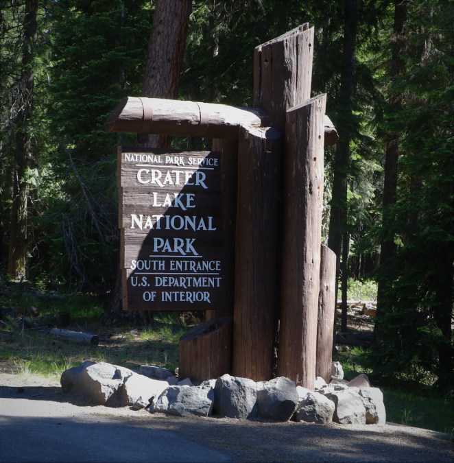
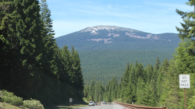
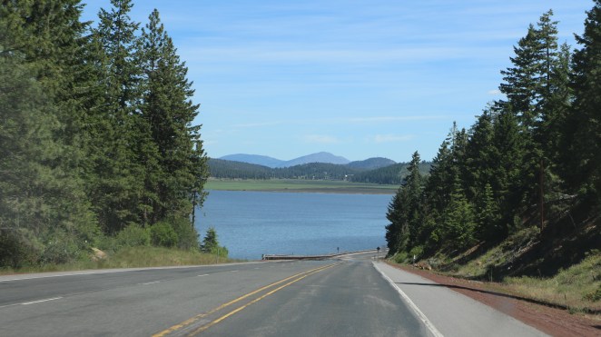
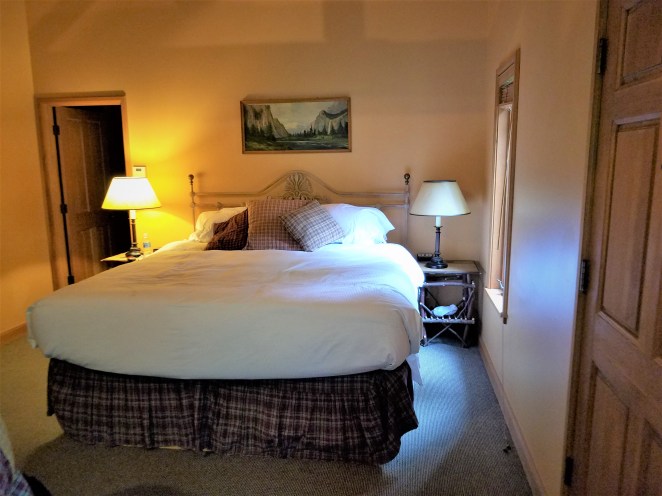
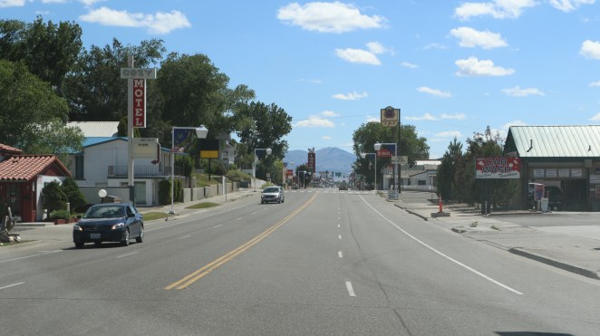
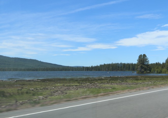
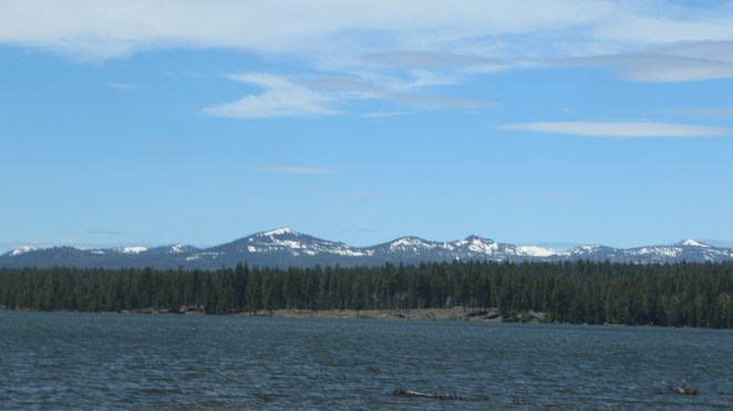
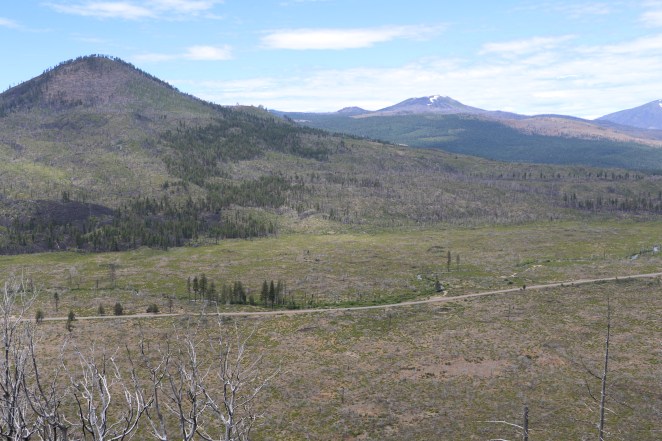
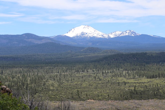
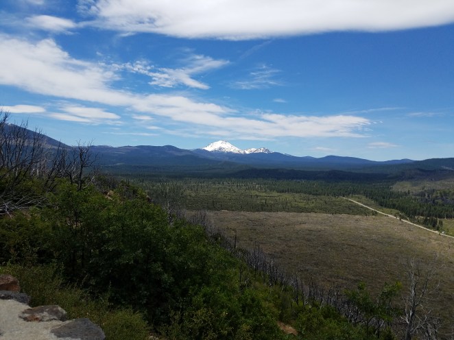
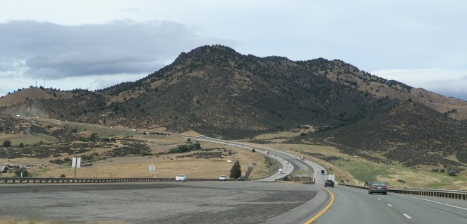
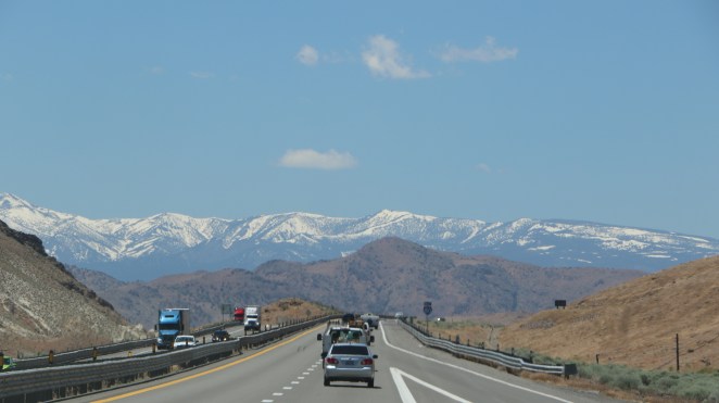
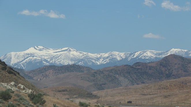
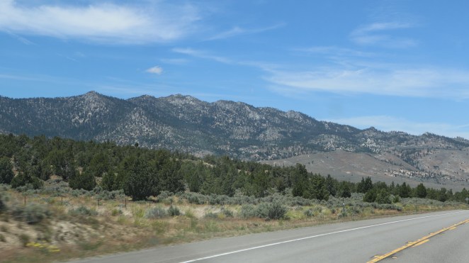
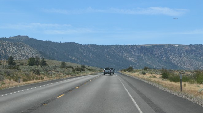
We loaded up and moved out of the Diamond  Back Casino Hotel in Susanville, CA before 10:30 A.M. and headed for the Courthouse Cafe for breakfast.  It lived up to the expectations we had from reading the review on TripAdvisor.  We find the website very helpful.

With a full stomach and happy faces we got underway about 11:30 A.M., topped off the fuel tank before leaving town and headed for the less travelled route along route 44 towards Grants Pass, OR about 250 miles away.  The route took us through Lassen National Forest to Old Station, CA where we picked up route 89 continuing through the forest and eventually into Shasta Trinity National Forest.  Occasionally we caught a glimpse of Mt. Shasta through the trees.

1O2A59431O2A59451O2A59471O2A59481O2A59491O2A5950

Here are some pictures taken from Hat Creek Rim part way through Lassen National Forest.

1O2A59531O2A59551O2A59631O2A596520170615_124535

Along the way in the forest Jeanne’s alert driving prevented hitting a  fawn who was anxious to cross the road.  Some additional shots as we travel along.

1O2A59671O2A59711O2A59761O2A5983

About 2:40 P.M. we exited the forest and merged onto Interstate 5 North passing on the west side of Mt. Shasta.  This is a picture of the west side of the mountain.

1O2A5993

Here are some pictures taken along our route on Interstate 5 North in Oregon.

1O2A60021O2A60131O2A60161O2A6035

We arrived at the Weasku Inn (pronounced we ask u) along the Rogue River, Grants Pass, OR about 5:40 P.M. having enjoyed another great day of travelling in the U.S.A.

1O2A6048


Wednesday, June 14 to Susanville, CA

We enjoyed the late complimentary continental breakfast at the Best Western in Winnemucca, NV and headed for Susanville, CA about 250 miles away around 10:00 A.M.  It was a beautiful, clear day.  Traffic was light and we enjoyed the scenery.  You could still see snow on the top of the Sierra Nevada Mountains but, it was certainly melting with the rising temperatures.

When we stopped in Lovelock, NV I captured this beautiful railroad station.

1O2A5883

As we travelled further west we worked our way through the mountains.

1O2A58891O2A58901O2A5892

We started crisscrossing the Truckee River as we approached Reno.  The Truckee River was the source of good fresh water for many of the westward bound settlers after crossing the Sierra Nevada Desert.

1O2A5896

And there were more great views of the mountain peaks.

1O2A59011O2A5902

Part way through Reno we headed north on US 395.

1O2A5909

About 45 minutes later we entered California (I nearly missed the sign).  We began getting different views of the mountains.

1O2A5914

1O2A59171O2A5918

1O2A5921

This is a picture of Honey Lake just south of Susanville.  It an endoheric basin (I had to look that one up.

1O2A5922

We arrived in Susanville and settled into the Diamond Mountain Casino Hotel around 2:30 P.M.

1O2A5939
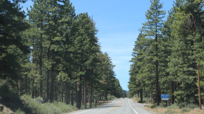
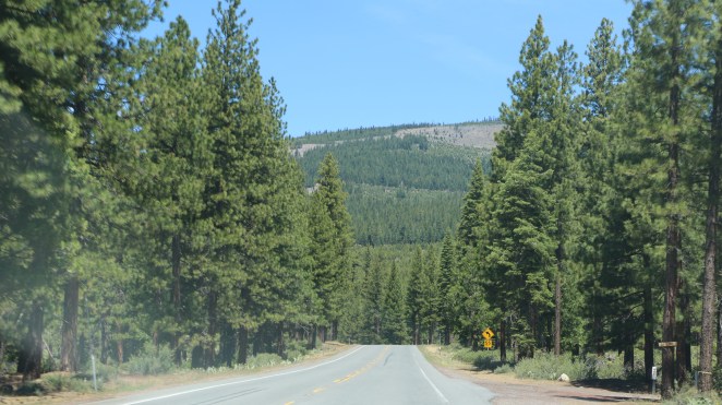
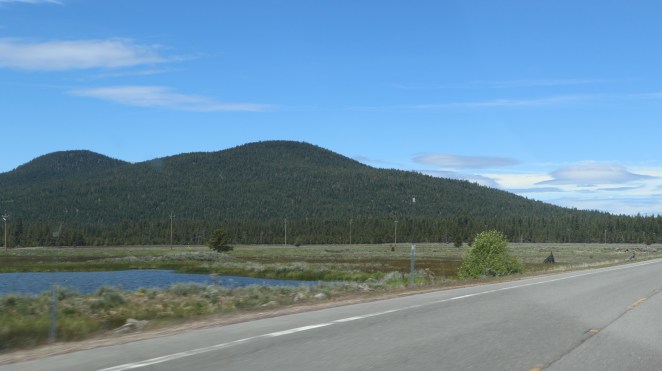
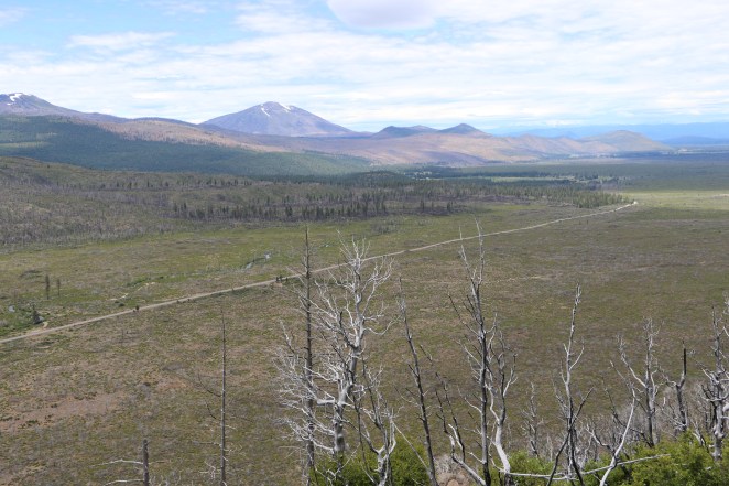
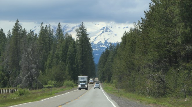
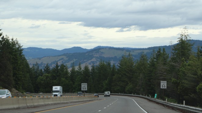
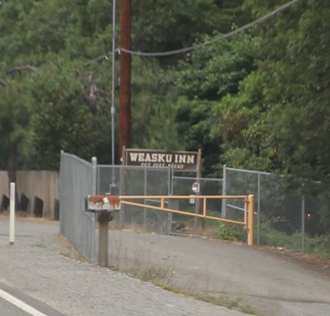
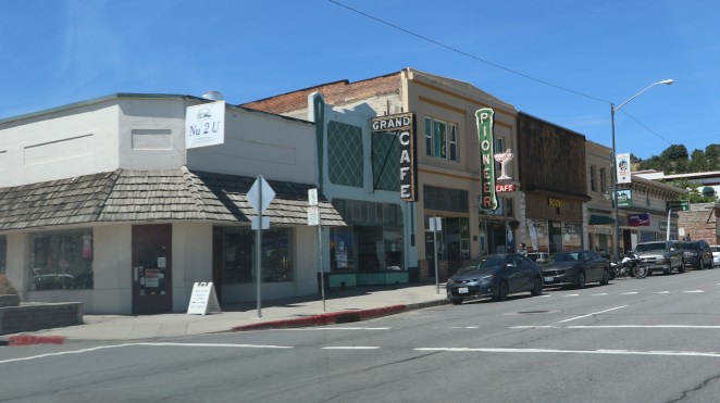
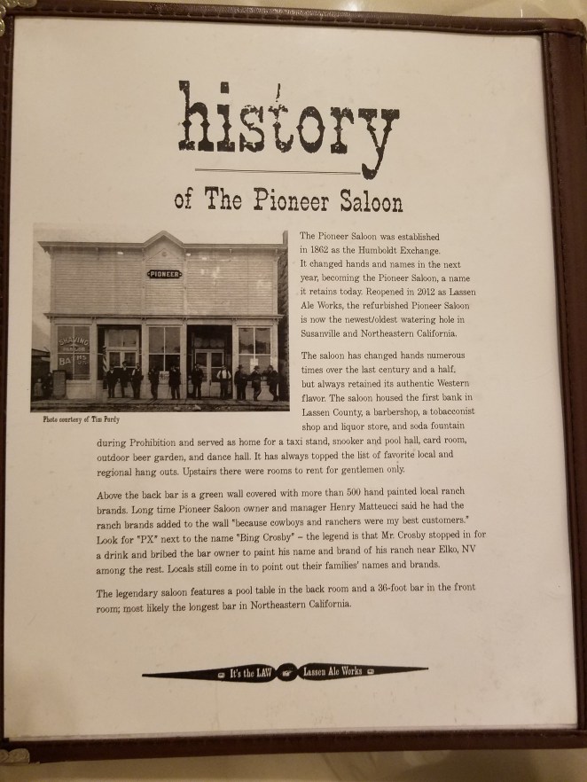
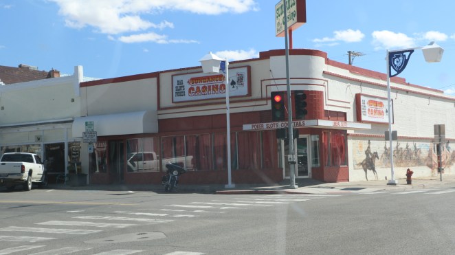
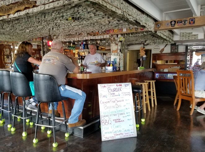
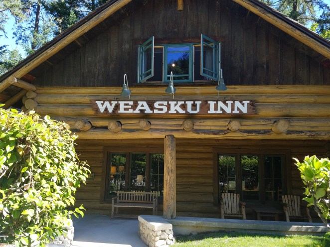
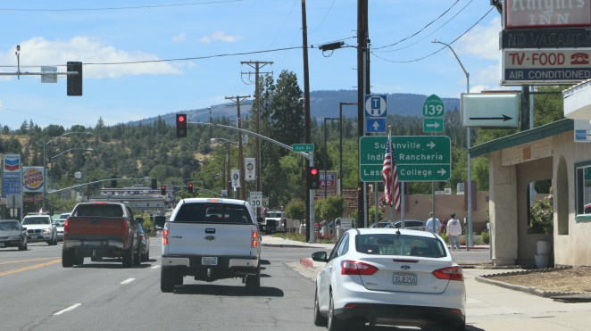
We opted to go back into town for dinner.  We selected the old/new (revived) Pioneer Saloon.  It was a great selection.  You can read about the facility in the last picture.

1O2A594120170614_202552

Another day & another adventure behind us.  We are enjoying life in the retired lane.


Tuesday, June 13 onward to Winnemucca

It’s easy for me to fall into the abyss of genealogy.  Fortunately we limited our stay in Salt Lake City to 8 nights.  It’s time to continue our trip westward towards northern California and then onward to Grants Pass, Oregon to visit Jeanne’s uncle Jack.  Although the trip westward will take us along Interstate 80 West it’s mostly desolate.  We decided to overnight in two places enroute Grants Pass – Winnemucca, NV and Susanville, CA.  There isn’t much there but they are convenient and maybe a little unusual.  If nothing else, they are not ghost towns.

After a week of living in the same suite of our hotel moving out was like moving out of an apartment.  A few more trips back and forth to our Odyssey van than the usual overnight stay.  We left Salt Lake City rather late in the morning with an overcast sky and some rain.  We missed the complimentary breakfast so it was a stop at McDonald’s for a sausage biscuit on the way out of town.  Within a couple of miles we were on Interstate 80 westbound.  The route took us just south of the Great Salt Lake.

1O2A57321O2A57381O2A57391O2A57431O2A57491O2A5753

As we get west of the Great Salt Pond the skies clear a little.

1O2A5759

As we go even further west we view the salt flats – what a show we are getting on this ride.  Salt on the flats, snow on the mountains and beautiful clouds in the sky.

1O2A57631O2A5770

1O2A5772

Eventually we make our way into Nevada and the vistas continue.

1O2A57851O2A5788


1O2A5793

The No Services is typical along this section of Interstate 80.  Make sure you monitor and manage your fuel.  We saw one very embarrassed tractor-trailer truck being fueled from jerry cans.

1O2A5801

One of my favorite shots for the day.

1O2A58041O2A5820

1O2A58331O2A5837

Typical view on our GPS along this stretch of highway – not too much to look at other than an occasional nearby town name.

1O2A58381O2A5844

1O2A5853

Eventually we approach our destination for the day.

1O2A5861

1O2A58661O2A58691O2A58701O2A58731O2A5876

Winnemucca is the only incorporated city in and is the county seat of Humboldt County, Nevada, United States. As of the 2010 census, the city had a total population of 7,396, up 3.1 percent from the 2000 census figure of 7,174. Interstate 80 passes through the city, where it meets U.S. Route 95.

Winnemucca

Winnemucca
Winnemucca,, was born a Shoshone around 1820 in what would later become the Oregon Territory. When he married the daughter of Old Winnemucca, he became a Paiute according to their tribal rules. They were of the Kuyuidika band of the Northern Paiute. His father-in-law honored him by naming him “Winnemucca the Younger”. The name means “The Giver of Spiritual Gifts.” Winnemucca the Younger became a war chief with the Kuyuidika.
The motel we stayed in was named for his daughter, Sarah Winnemucca, who served as a scout for the U.S. Army.  She was the first native American to write and publish an auto-biography.  There is a sculptured bust of her in the Nevada section of the U.S. Congress; one of two from the state of Nevada.
Image result for sarah winnemucca